How to Read a Smoke Forecast — And When It Means Leave
Forecasts predict smoke; monitors measure it. Here's how AirNow, NOAA's HRRR-Smoke, and satellite maps actually work — and the one signal in a multi-day outlook that means it's time to drive to cleaner air.
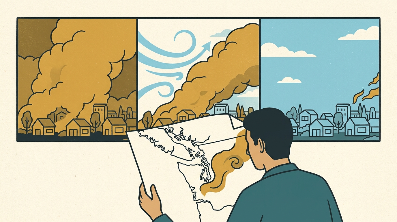
A smoke forecast is a modeled probability, not a promise — it estimates how likely PM2.5 is to stay elevated over the next one to seven days by tracking where fire plumes will travel and settle. Trust the next 24–48 hours closely, read days three through seven as a trend rather than exact numbers, and always check today's live reading before deciding whether to go outside right now.
The short version
- A forecast predicts smoke; a monitor measures it. Use the forecast to plan days ahead, the live number to decide right now.
- Forecasts come from weather models (NOAA's HRRR-Smoke, ECCC's FireWork) fed by real-time fire detections, plus a categorical AirNow outlook for the next 1–3 days.
- Satellite smoke maps show the whole atmospheric column — smoke miles up can look apocalyptic without ever reaching the ground you're standing on.
- Forecasts are reliable for about 24–48 hours, directional out to 5–7 days, and unreliable beyond that.
- If the outlook shows no clearing for close to a week, that's the trigger to book a trip out — not to keep checking tomorrow's number.
What's the difference between a forecast and today's reading?
A live reading is a measurement: a ground monitor or sensor sampling the air at a fixed spot right now. A forecast is a prediction: a model's best guess at what that same air will look like tomorrow, or three days from now. They answer different questions. Should I go outside today is answered by the live number at your nearest station — smoke shifts by the hour, so yesterday's forecast can be badly wrong for this afternoon. Should I change my week, or leave town, is answered by the forecast — because no single hour's reading tells you what's coming.
Where do smoke forecasts actually come from?
Three distinct systems feed what you see online. AirNow's forecast is a categorical outlook — a color band for tomorrow and the day after — issued by state and local air agencies combining model output with a forecaster's judgment call. NOAA's HRRR-Smoke model is the engine underneath a lot of that judgment: it ingests real-time satellite fire detections, then simulates hour-by-hour how the smoke will disperse based on wind, precipitation, and how high the atmosphere is mixing that day, out to about 48 hours. Environment and Climate Change Canada runs an equivalent system, FireWork, feeding Canadian smoke outlooks. Satellites (NOAA's GOES, NASA/NOAA's VIIRS) supply the fire-detection and plume-extent data both models depend on, but a satellite image alone isn't a ground-level forecast — it's an input to one.
Why does the satellite map look worse than what I'm actually breathing?
Satellite imagery totals smoke through the entire depth of the atmosphere — what's called vertically integrated smoke. A plume sitting several thousand feet up can paint an entire region orange on a map while the air at ground level, where you're breathing, stays moderate, because that smoke hasn't mixed down yet. The reverse happens too: a clear-looking satellite day can turn into a bad AQI morning once temperatures drop overnight, the mixing layer collapses, and smoke aloft settles to the surface. Column smoke tells you what's in the sky. Only ground monitors and near-surface sensors tell you what's in your lungs.
A forecast that keeps saying "still bad" every day for a week isn't asking you to check again tomorrow — it's telling you to leave today.
How many days out can I actually trust a smoke forecast?
The next 24–48 hours: reliable. Models have solid fire behavior and weather data to work with at that range, and HRRR-Smoke updates hourly. Days three through five: directional. Trust the shape — a stalled ridge trapping smoke, an incoming front that clears it — but not the exact projected AQI number for a given day. Beyond about a week: treat it as a watch, not a plan. New fire starts, wind shifts, and rain events can flip an outlook in either direction faster than any model captures. The right use of a multi-day forecast is the trend, not any single day's figure.
| Source | What it tells you | Trust it out to |
|---|---|---|
| AirNow current conditions | Live PM2.5/AQI at the nearest ground monitor | Right now |
| AirNow forecast | Categorical AQI outlook (color band) for your area | 1–3 days |
| NOAA HRRR-Smoke | Modeled surface smoke concentration, hour by hour | 0–48 hours |
| fire.airnow.gov | Combined monitor, satellite, and fire-location map | Now, plus a short-range overlay |
| PurpleAir | Live, hyperlocal PM2.5 from community sensors | Right now |
| ECCC FireWork (weather.gc.ca) | Modeled smoke transport across Canada | 0–48 hours, directional beyond |
| Satellite (GOES / VIIRS) | Fire hotspots and total smoke column depth | Now — not a ground forecast |
When does a forecast mean it's time to leave?
One or two bad days in the outlook: hunker down, filter your indoor air, and wait it out. But if every day in the visible window — today through day five, six, seven — is still showing Unhealthy or worse with no front, no rain, and no wind shift breaking it up, waiting stops being a strategy. A forecast that flat all the way across isn't a coin flip you might win tomorrow; it's the model telling you this air isn't clearing on any schedule you can sit through. That's the one decision a multi-day outlook exists to trigger: not "check again tomorrow," but book the trip and drive to where the forecast — and the live readings — actually look clean. See your city's current PM2.5 and which nearby towns are already reading clear.
Sources & further reading. EPA AirNow; EPA/USFS Fire and Smoke Map; NOAA — HRRR-Smoke model; Environment and Climate Change Canada — Air Quality Forecasts; PurpleAir — real-time sensor map.
This article is general information, not medical advice. If you or someone in your household has a heart or lung condition, is pregnant, or is having trouble breathing, talk to a doctor about smoke exposure specific to your situation.
Common questions
How far in advance can I trust a wildfire smoke forecast?
The next 24-48 hours are reliable — models like NOAA's HRRR-Smoke have solid fire and weather data at that range. Days three through seven are directional (good for spotting a clearing trend or a stalled bad stretch), not exact numbers. Beyond a week, treat it as a watch, not a plan.
Why does satellite smoke look so much worse than the air quality index?
Satellite imagery totals smoke through the entire depth of the atmosphere — vertically integrated smoke. A plume miles up can paint a region orange while ground-level PM2.5, what you actually breathe, stays moderate because it hasn't mixed down yet.
Where can I check a wildfire smoke forecast?
EPA AirNow's forecast gives a 1-3 day categorical outlook; fire.airnow.gov overlays monitors, satellite, and fire locations. NOAA's HRRR-Smoke model shows modeled surface smoke out to 48 hours. In Canada, ECCC's FireWork forecasts appear on weather.gc.ca.
When should a smoke forecast make me leave town instead of waiting it out?
When the outlook stays Unhealthy or worse across the entire visible window — roughly a week — with no front, rain, or wind shift breaking it up. That flat, no-relief pattern is the signal to book a trip out, not to keep checking tomorrow's number.