Will the Bad Air Come Back to Haunt Canada and the US?
The official outlooks and the forecasters agree: elevated fire potential through September, smoke episodes into August — and some fires may burn until the October snows.
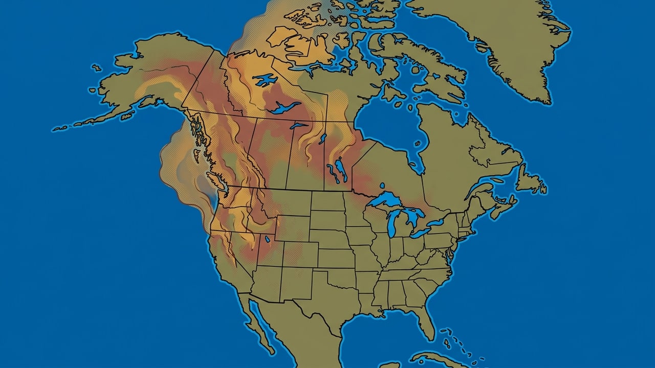
Yes — expect more smoky days into September, in episodes rather than one continent-wide repeat of mid-July. The official outlooks keep U.S. fire risk elevated through September, concentrated in the Northwest and parts of the Great Basin; forecasters expect Canadian smoke to keep visiting the Midwest and Northeast into August. What nobody can tell you is which city wakes up orange on a particular morning.
That distinction matters. Fire potential is the background risk that conditions will support significant new or growing fires. Smoke is the local result after a fire starts: how much it produces, how high the plume rises, and whether the wind carries it toward you. A high-risk map is a reason to keep checking, not a forecast of the air in your backyard.
What the outlook says about July through September
The NIFC July–October outlook keeps above-normal significant fire potential across much of the Four Corners, Great Basin, Northwest, and northeast California in July, with additional pockets in Texas, the Carolinas, Florida, and the territories. In August, the elevated zone expands across the Northwest, central Idaho, western Wyoming, northern Nevada, northern Utah, northeast California, and northwest Colorado. In September, the signal narrows but remains above normal in the Northwest, most of the northern Great Basin, and northeast California.
The same outlook calls for normal significant fire potential nationwide in October. That does not mean smoke ends on October 1; fires can keep burning, and a single large event can still send a plume a long way. It means this particular seasonal forecast does not justify saying a new, nationwide October surge is the expected outcome.
Why the Northwest keeps showing up
The NOAA August–September–October climate discussion tilts warmer than normal across much of the United States and Alaska, with the strongest odds in the Northwest, southwestern Texas, and parts of the Southeast. It also points to below-normal precipitation in parts of the Pacific Northwest, the Southern Plains, the Lower Mississippi Valley, and the Upper Mississippi Valley and Upper Great Lakes.
Warmth and dryness can make fire growth easier, but that is still not a smoke timetable. A wet week can interrupt a bad pattern. A wind shift can send smoke away from a fire community and into a distant one. The sensible reading is regional: the Northwest, northern Great Basin, and northeast California deserve a higher level of attention into September; everyone else needs local observations rather than a national headline. The CPC outlook indexis the place to check when those long-range products update.
What about Canada?
Canada is the reason much of the U.S. spent mid-July under smoke. On July 17, Ontario alone had193 active fires covering roughly 673,000 hectares, and the plume that crossed the border pushed Duluth, Minnesota to a PM2.5 Air Quality Index of 934 — the previous record was 159 — perYale Climate Connections. Meteorologist Jeff Masters expects the engine to keep running: “We can anticipate that some of the major smoke-emitting fires in Minnesota/Ontario will continue to burn for an extended period, with some lasting until the first snows come in October.” For where the smoke goes next on any given day, Environment and Climate Change Canada’sFireWork model maps the plume 72 hours out.
What the smoke-watchers say
Masters’ read on the continent as a whole: “we should anticipate frequent bouts of poor air quality from wildfire smoke across much of North America. July and August are usually the peak months of fire season, which typically extends well into September.”
For the Midwest and Northeast specifically, AccuWeather’s forecasterstold Newsweek to expect periodic smoke episodes into August. Senior meteorologist Reneé Duff: “Some sporadic rain is in the forecast for western Ontario, which is the prime source of wildfire smoke entering the U.S. in recent weeks” — while her colleague Matt Benz warned that lasting relief may not arrive “until the colder weather season, when larger storms bringing rain and snow typically arrive.”
The honest answer: when and where?
Expect the best-supported risk of renewed or continuing smoke episodes in the Northwest, the northern Great Basin, and northeast California through September, with July and August also carrying elevated potential in the Four Corners, central Idaho, western Wyoming, and nearby western states. Parts of the Upper Midwest and Great Lakes may also see a combustible background when warmth and low precipitation overlap, but that does not predict a plume over a particular city.
When a plume heads your way, the useful sequence is immediate: check your city’s live reading, look at the current wildfire map, and use your local forecast to judge the next few hours. If the air stays bad across the visible week with no relief, that is when a cleaner-air drive becomes a practical option. If tomorrow clears, do not let a seasonal risk map make the decision for today.
Sources. NIFC’s National Significant Wildland Fire Potential Outlook (July 1, 2026); NOAA Climate Prediction Center’s ASO 2026 Prognostic Discussion (July 16, 2026); CPC long-range outlook index; ECCC FireWork; Jeff Masters for Yale Climate Connections (July 17, 2026); and Newsweek (July 22, 2026).
Common questions
Will wildfire smoke return in the United States in 2026?
The official outlooks support elevated fire potential and a risk of smoke episodes in parts of the Northwest, northern Great Basin, and northeast California through September. They do not predict a smoke event in every city or support a nationwide October return.
When is wildfire smoke most likely to return?
July and August carry the broadest elevated U.S. fire-potential areas in the cited outlooks. In September, the above-normal signal is concentrated in the Northwest, northern Great Basin, and northeast California. Exact smoke timing depends on actual fires and wind.
Will Canadian wildfire smoke reach the United States again in 2026?
Forecasters expect periodic smoke episodes across the Midwest and Northeast into August while western Ontario keeps burning, and meteorologist Jeff Masters notes some Minnesota/Ontario fires could burn until the first October snows. Individual plumes still depend on day-to-day winds.
Can a U.S. seasonal outlook predict smoke in Canada?
No. A seasonal U.S. fire-potential outlook cannot provide a Canadian city-level smoke forecast. Use Environment and Climate Change Canada’s FireWork model maps and your local live air reading for the current decision.